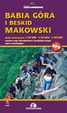
Babia Góra i Beskid Makowski

scale
legend
size
1st edition
author
publishers
ISBN
1:50 000
5 languages
97 x 67 cm
2004
Michael Siwicki
83-7499-014-7
Beskidy maps
distribution
The map covers whole Beskid Makowski, with Pasmo Pewelskie on the west. Pasmo Barnasiówki and Pasmo Lubomira i Łysiny exist in smaller scale. South part of the map covers surroundings of Babia Góra, the highest peak in Beskidy.
The explanation contains about 90 signs, described in 5 languages (PL, GB, D, F, SK). Vivid hill shading in two colours with 20-m interval countour lines clearly show the relief. There is geographical grid for GPS here, time distances and mountain bike routes, as well as routes for horse-riding and skiing.
On back side you can find several informations about the region. There is the panorama here and comprehensive touristic directory. You can find a city-map of Sucha Beskidzka, Myślenice, Maków Podhalański and Rabka-Zdrój too, several informations about national park, coverage of mobile phones.


